
Contact us for more information on Having Our activities, our products and services
Click hereSAL Engineering designs and manufactures integrated remote sensing systems, offers services of data acquisition, processing and editing of geo-referenced mapping products. Remote sensing techniques...
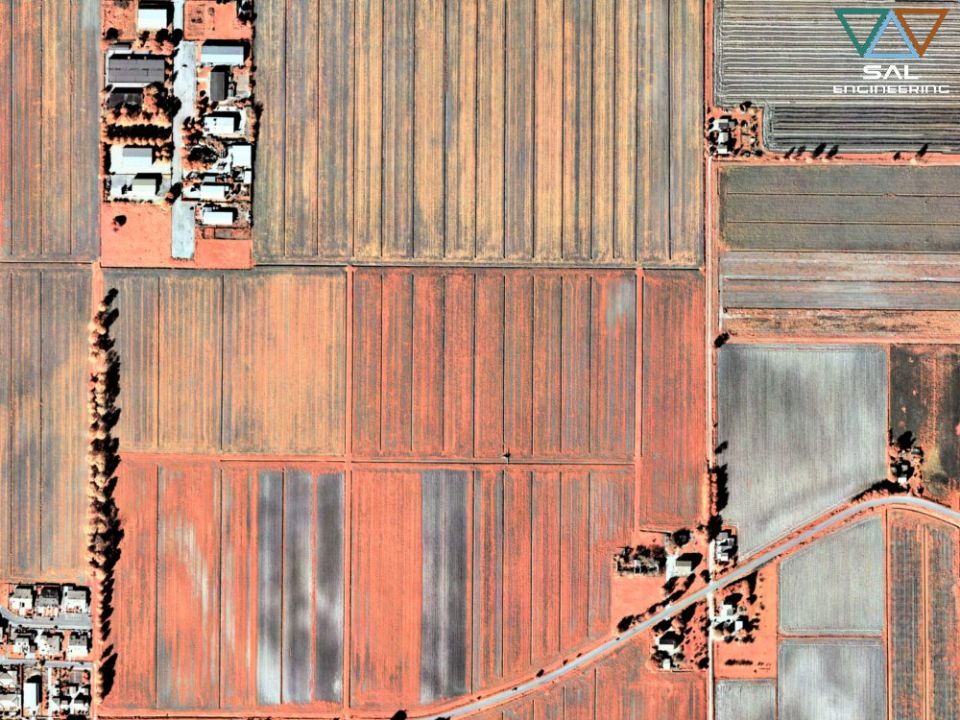
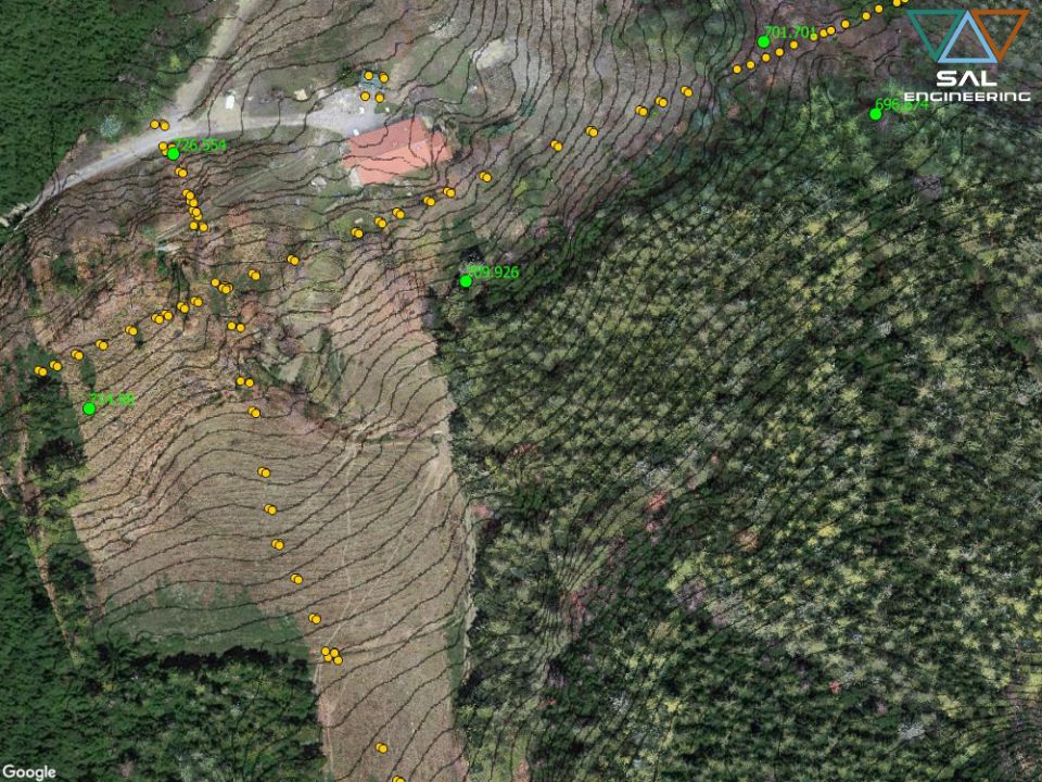
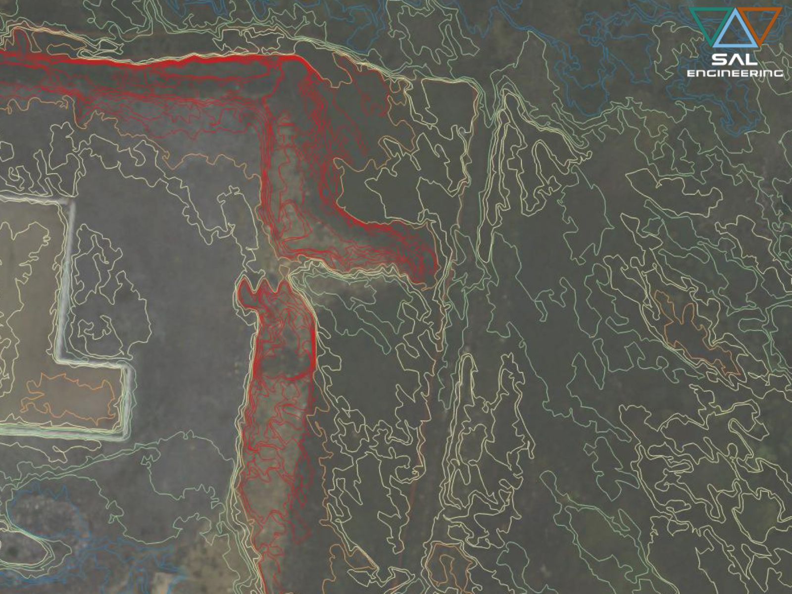
SAL Engineering designs and manufactures integrated systems for photogrammetric surveys of land in the field of hydrogeological instability, protection of the territory, hydrogeological prevention, pl...
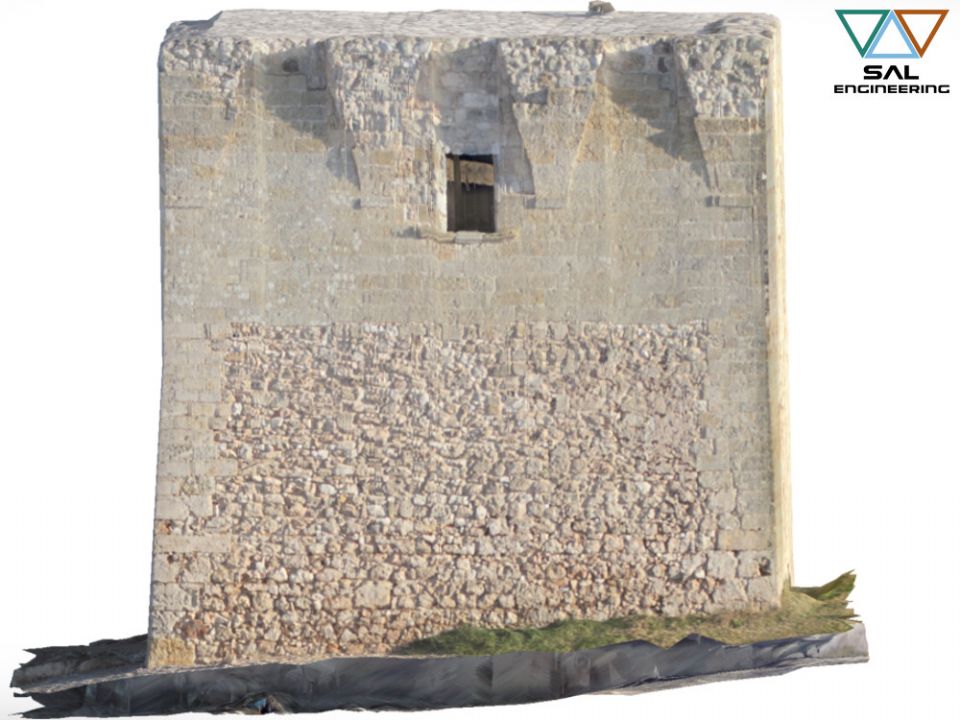
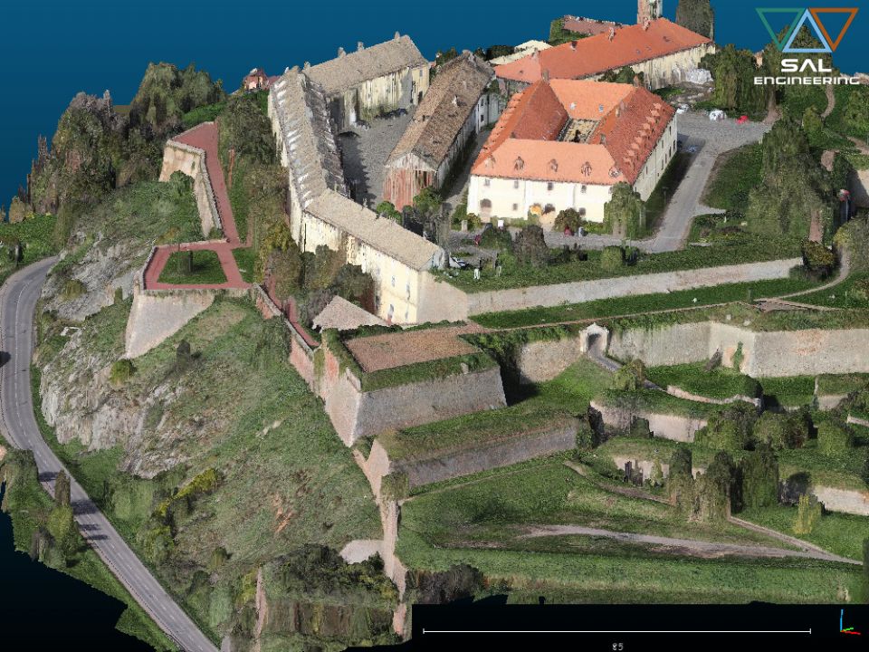
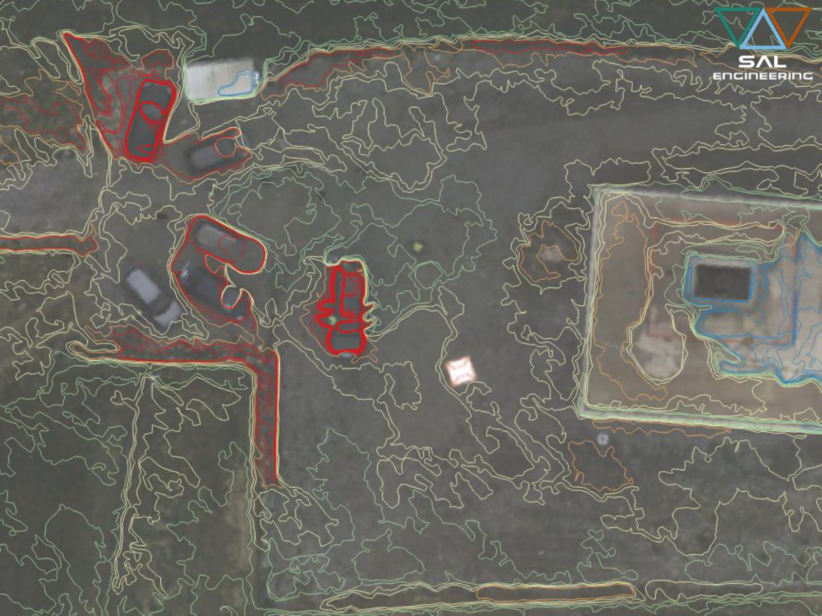
SAL Engineering designs and manufactures integrated systems for photogrammetric surveys aimed at creating 3D models with high precision and accuracy of buildings, industrial plants, quarries, dumps, c...
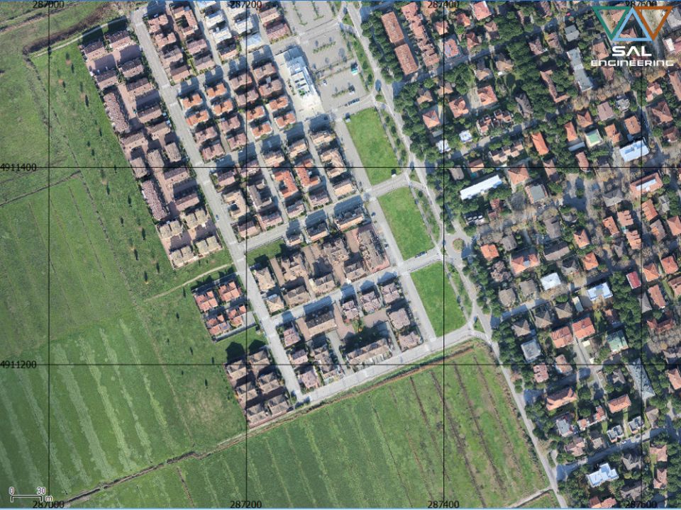
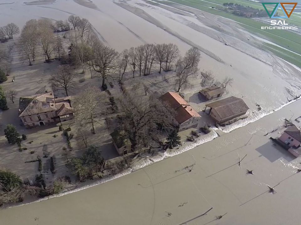
SAL Engineering provides aerial and terrestrial photogrammetric surveys aimed at the three-dimensional reconstruction of terrains, structures, pylons, towers, archaeological sites, antennas, ruins, ro...
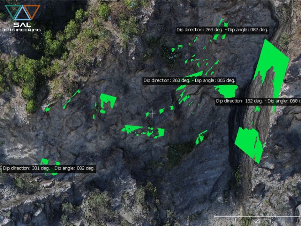
SAL Engineering has developed a method of digital analysis and survey of the discontinuities of the cliffs and rock formations directly on the point cloud obtained through photogrammetric survey, repl...
SAL Engineering has professional instruments such as dual frequency satellite receivers, high performance GNSS antennas, high precision total stations, high precision levels and high skills for the re...
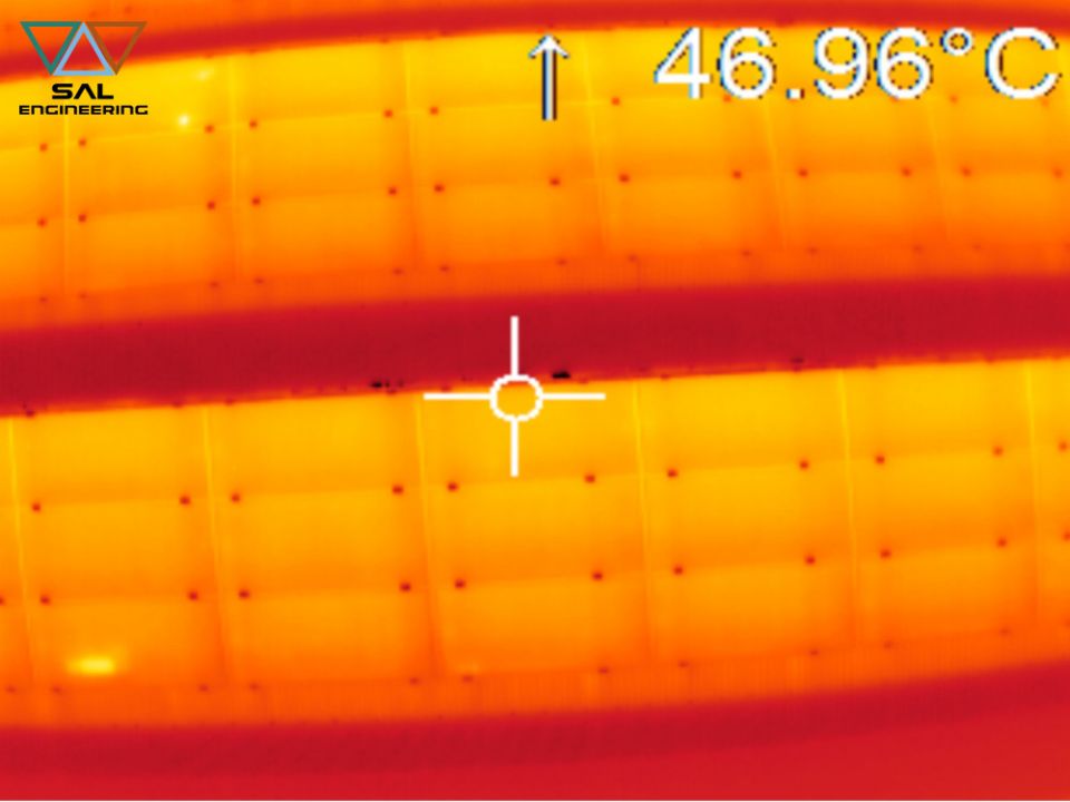
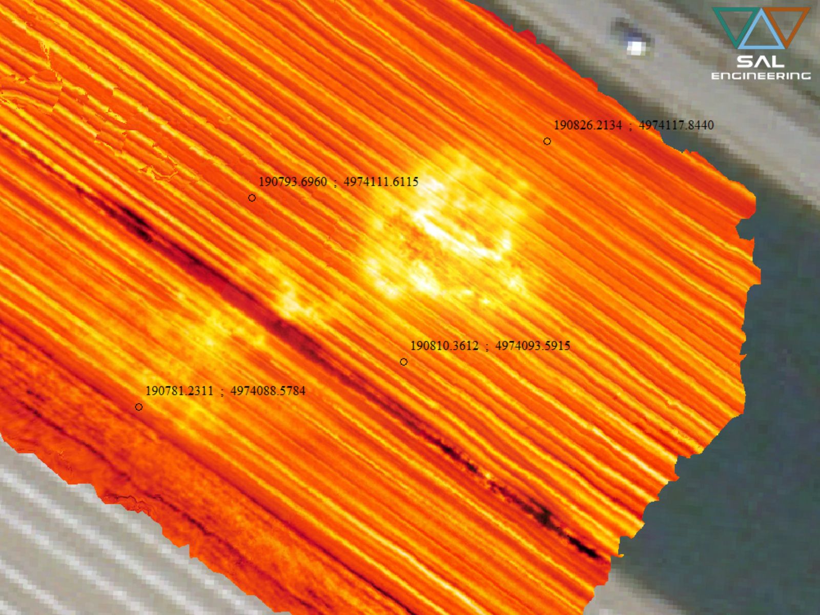
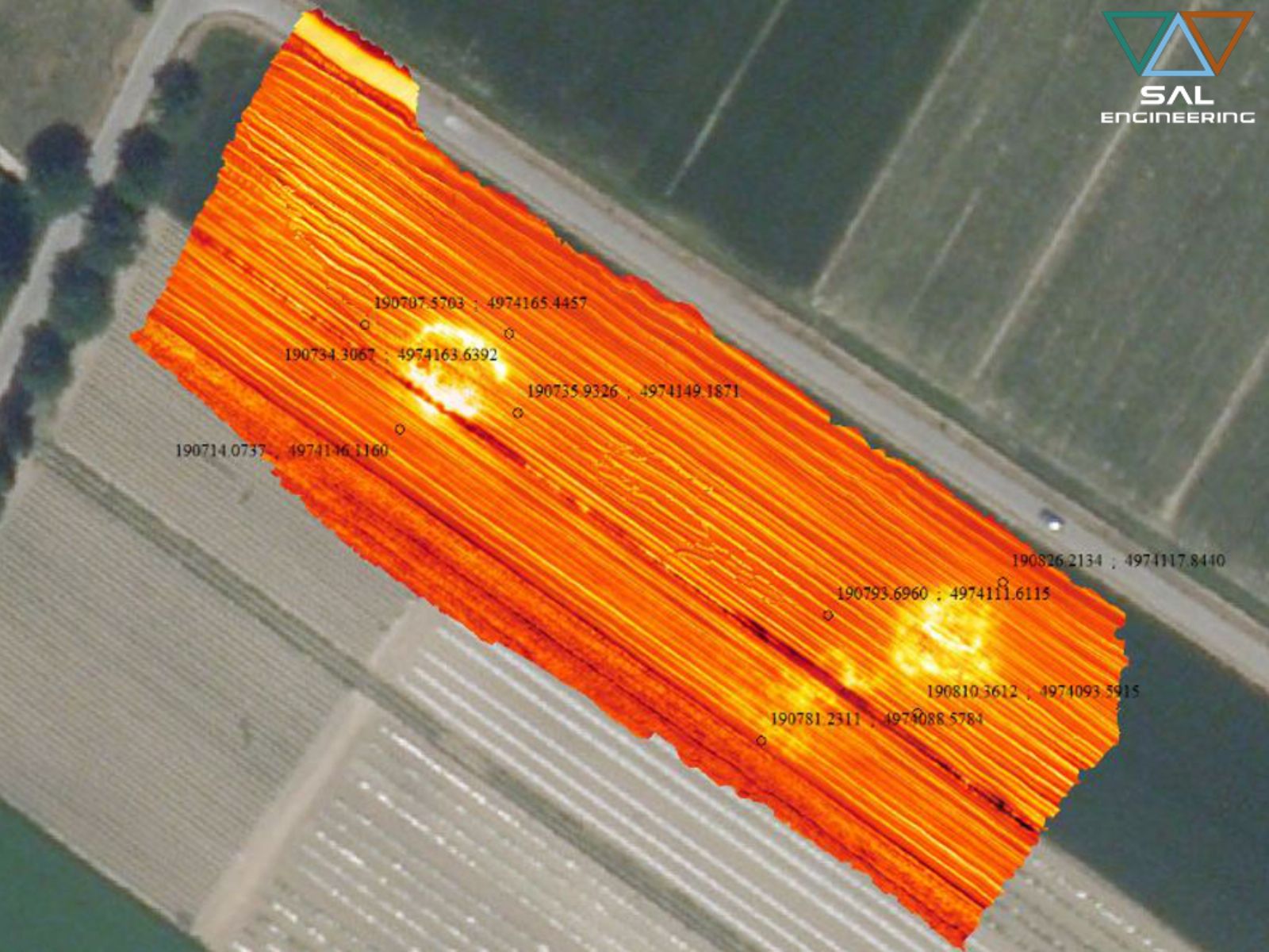
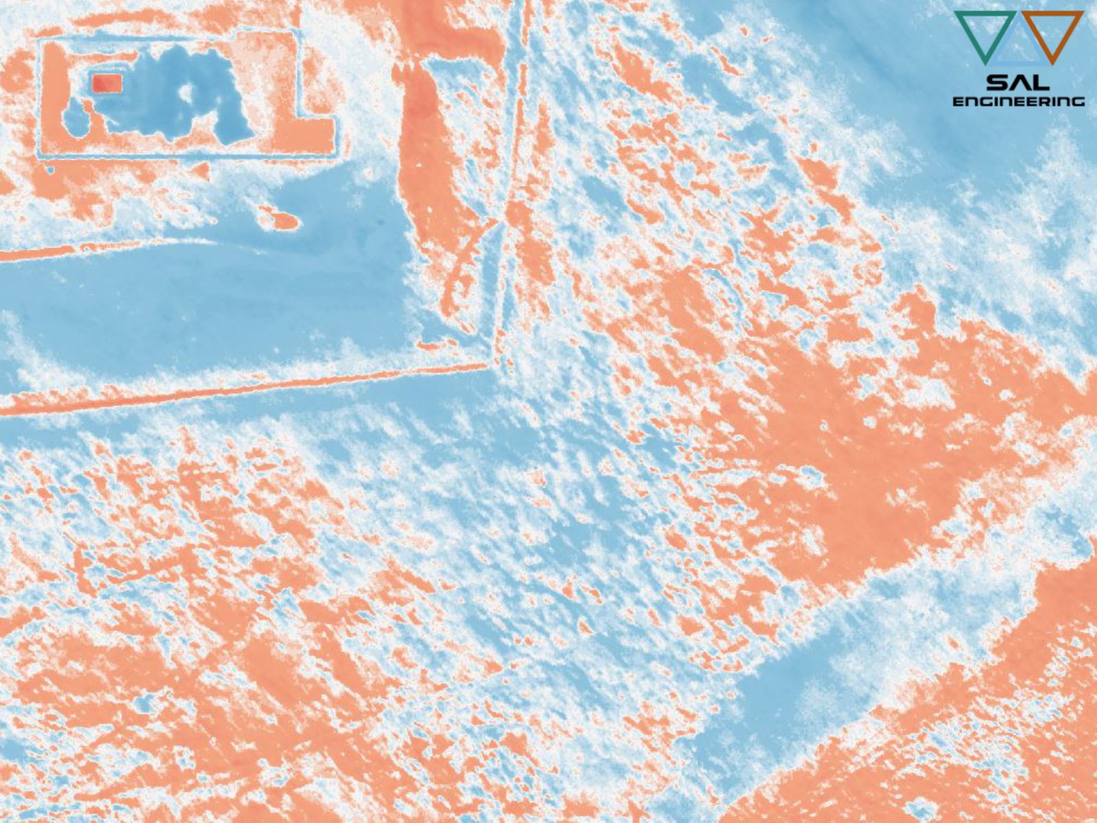
SAL Engineering designs and manufactures integrated systems for aerial thermal investigations of structures, electricity production plants, industrial plants, public buildings. The system consists of ...
SAL Engineering designs and manufactures video acquisition systems to conduct inspections, for research and rescue activities, to plan photogrammetric surveys, to have visibility of otherwise inaccess...
2015 - 2026 © SAL Engineering S.r.l.